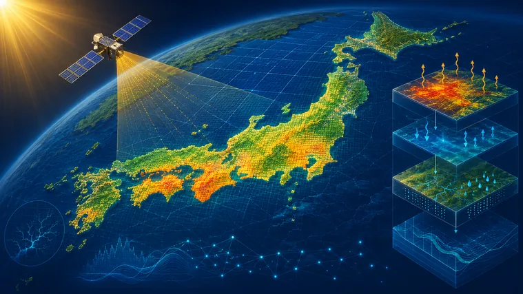
AMATERASS solar radiation products, geostationary satellite gridded data, and processing methods developed through the project have been applied across a wide range of research fields. This page highlights representative studies that illustrate how these data and technologies have been used and extended in scientific and engineering research.
012013
Renewable Energy / Microgrids
Game Theoretic Receding Horizon Cooperative Network Formation for Distributed Microgrids: Variability Reduction of Photovoltaics
Journal of Control, Measurement, and System Integration · 2013
Photovoltaic power can fluctuate rapidly as clouds move across a region, but those fluctuations do not necessarily occur at the same time at geographically separated sites. This study proposed a control framework in which multiple distributed microgrids dynamically cooperate to reduce temporal and spatial variability in PV generation while also limiting transmission losses associated with power exchange. The method combines receding-horizon control with game theory, allowing individual microgrids to form cooperative networks autonomously as conditions change. Simulations using observed solar irradiance data demonstrated the benefit of treating geographically distributed PV systems as an integrated system. The work is an early example of using high-resolution satellite-derived solar radiation data to quantify and actively exploit the smoothing effect of spatially distributed photovoltaic generation.
Connection to AMATERASS
Observed solar irradiance from the satellite-based estimation system that led to AMATERASS was used to evaluate distributed-PV variability and to drive the cooperative-control simulations.
1-km-resolution land surface analysis over Japan: Impact of satellite-derived solar radiation
Hydrological Research Letters · 2015
Incoming solar radiation at the land surface is a key driver of surface temperature, evapotranspiration, snowmelt, and runoff. This study examined the impact of satellite-derived solar radiation on a 1-km-resolution land-surface analysis covering Japan. Replacing conventional radiation estimates based mainly on ground observations with satellite-derived irradiance improved the representation not only of net shortwave radiation but also of longwave radiation and sensible and latent heat fluxes. At the national scale, differences in incoming solar radiation substantially affected the surface energy balance; in snow-covered regions, they also influenced the timing of snowmelt and subsequent runoff. The study demonstrated that high-resolution satellite solar radiation products can serve as fundamental forcing data for describing land-surface energy and water cycles, rather than simply as standalone irradiance products.
Connection to AMATERASS
Satellite-derived solar radiation from EXAM, which forms the basis of the AMATERASS radiation retrieval system, was used as forcing data for the 1-km land-surface analysis.
Voltage Control Method Utilizing Solar Radiation Data in High Spatial Resolution for Service Restoration in Distribution Networks with PV
Journal of Energy Engineering · online 2016 / issue 2017
Distribution networks with large amounts of photovoltaic generation can experience unusual voltage behavior during service restoration. PV systems may disconnect during a fault and reconnect after the network is restored, producing voltage changes that are difficult to anticipate using conventional assumptions. This study proposed a voltage-control method that estimates the spatial distribution of PV output from high-resolution solar radiation data, predicts post-restoration voltages, and adjusts transformer and voltage-regulator tap positions accordingly. Simulations used a geographically realistic distribution-network model together with PV output distributions derived from approximately 1-km solar irradiance data. The results showed that resolving regional differences in solar conditions is important for preventing voltage violations. The work directly connects the spatial information contained in satellite-derived solar radiation fields with operational control of electric distribution systems.
Connection to AMATERASS
High-spatial-resolution solar irradiance fields were used to estimate regional differences in PV output for voltage control during distribution-network restoration.
Evaluation of Himawari-8 surface downwelling solar radiation by ground-based measurements
Atmospheric Measurement Techniques · 2018
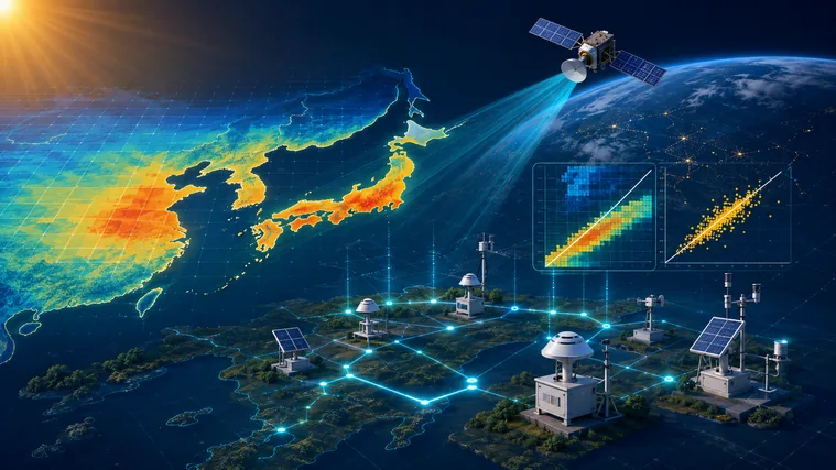
How accurately can AMATERASS reproduce the solar radiation that actually reaches the ground? This study evaluated Himawari-8-derived surface downwelling solar radiation against ground-based irradiance measurements, including observations from SKYNET sites, and examined the major sources of error. Overall agreement was good under all-sky conditions, while errors increased at very short time scales such as 2.5-minute intervals because a satellite pixel and a point measurement do not observe exactly the same cloud field. The analysis also showed that aerosols can become an important source of error under clear skies, while surface reflectance matters over bright surfaces. Beyond reporting the accuracy of the product, the study clarified the temporal and spatial scales at which users should interpret AMATERASS data with particular care, making it a foundational validation study for the Himawari-8 solar radiation product.
Connection to AMATERASS
The Himawari-8 AMATERASS surface solar radiation product itself was directly evaluated against ground-based irradiance observations.
National-scale application of an activity-based residential building energy model using postcode-level census data
Building Simulation Conference Proceedings · 2019
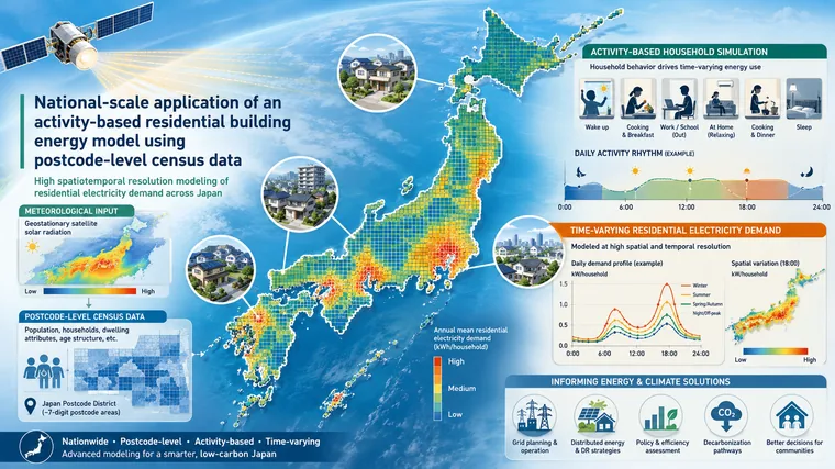
Residential energy demand is shaped not only by weather but also by household composition, occupancy, daily activities, and building characteristics. This study extended an activity-based residential building energy model to the national scale using postcode-level census information, allowing regional differences in household structure and behavior to be represented explicitly. Spatially resolved weather and solar radiation information derived from AMATERASS was used among the environmental inputs to the simulations. The study therefore connected satellite-derived solar radiation not only to estimates of photovoltaic generation but also to models of when, where, and how people use energy in buildings. It illustrates how high-spatiotemporal-resolution environmental data from AMATERASS can support analyses that bridge physical environmental conditions with building, urban, and social energy systems.
Connection to AMATERASS
Spatially detailed weather and solar radiation information derived from AMATERASS was used as environmental input for national-scale residential energy simulations.
An Introduction to the Geostationary-NASA Earth Exchange (GeoNEX) Products
Remote Sensing · 2020
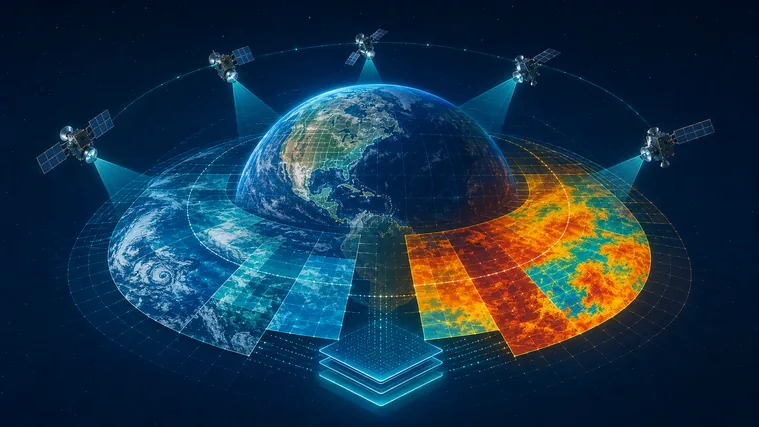
New-generation geostationary satellites such as Himawari-8/9 and the GOES series observe the Earth every few to tens of minutes, but differences in viewing geometry, coordinate systems, and residual geolocation errors make direct multi-satellite analysis difficult. GeoNEX provides a common processing framework that calibrates geostationary observations, corrects residual geolocation errors, and maps the data onto a common latitude–longitude grid. Pixel observation time and solar illumination geometry are also handled to facilitate comparison and integration across geostationary and polar-orbiting sensors. A key component of this processing is the Geolocation Correction method developed for AMATERASS as part of its geolocation and gridding system. Its use in NASA GeoNEX shows how processing technology developed and operated within AMATERASS was transferred directly into an international geostationary-satellite data production system.
Connection to AMATERASS
The Geolocation Correction method developed in AMATERASS for geolocation correction and gridding is used to generate NASA GeoNEX L1G products.
Day-ahead Scheduling Method for Electricity Markets Using Neural Networks
Transactions of the Society of Instrument and Control Engineers · 2020
Electricity markets with large amounts of renewable generation require day-ahead schedules for supply and demand, but photovoltaic output remains uncertain because it depends strongly on weather. This study proposed a neural-network-based method that learns day-ahead scheduling decisions from past electricity-market optimization results, reducing the need to solve a large optimization problem for every new case. The simulation represented all 47 prefectures of Japan and generated realized PV output from AMATERASS solar irradiance observations to construct training and evaluation data. By replacing repeated large-scale optimization with a learned model, the approach made it possible to use much larger training datasets and aimed to improve both generalization and market revenue. The study is an example of satellite-observed solar radiation serving as real-world training data for machine-learning-based decision making in electricity markets.
Connection to AMATERASS
AMATERASS solar irradiance observations were converted to realized PV generation and used in nationwide electricity-market simulations and machine-learning experiments.
Post-processing correction method for surface solar irradiance forecast data from the numerical weather model using geostationary satellite observation data
Solar Energy · 2021
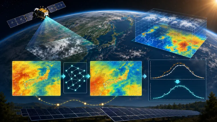
Numerical weather prediction models contain systematic errors in surface solar irradiance forecasts, particularly because cloud fields are difficult to represent perfectly. This study developed a statistical post-processing method that combines model forecasts with solar radiation estimates from geostationary satellite observations. Grid cells are classified according to atmospheric and regional characteristics, and transformation functions are derived from the cumulative probability distributions of forecast and satellite-observed irradiance to correct model-dependent biases. Evaluation across Japan showed improvements in forecast-error statistics, particularly at shorter lead times, while also identifying seasons and regions where the benefit was more limited. The work demonstrates the use of satellite solar radiation not merely as an observation of current conditions, but as an empirical reference for improving future solar irradiance forecasts.
Connection to AMATERASS
AMATERASS surface solar irradiance and related radiation data were used as satellite observations for statistical post-processing of numerical weather prediction forecasts.
New generation geostationary satellite observations support seasonality in greenness of the Amazon evergreen forests
Nature Communications · 2021
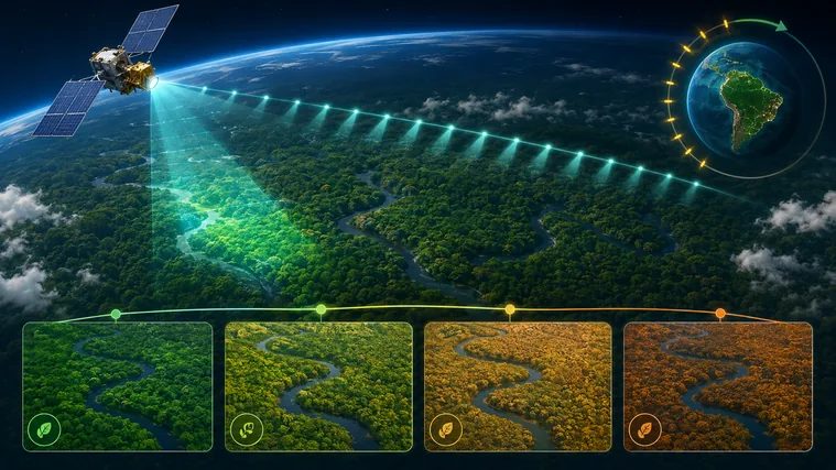
Persistent cloud cover makes it difficult to observe seasonal vegetation changes in Amazon evergreen forests with conventional polar-orbiting satellites. This study used reflectance data from the NASA GeoNEX product generated from high-frequency GOES-16/ABI observations to investigate seasonal changes in NDVI across the Amazon. Because geostationary satellites observe many times per day, they can capture brief cloud-free intervals that are often missed by sensors with only one or two observations per day. The resulting increase in clear-sky observations enabled statistically significant seasonal greenness signals to be detected over a much larger fraction of evergreen forest. The study showed that high-frequency geostationary observations can reveal tropical ecosystem dynamics that are otherwise obscured by clouds, demonstrating a major ecological application of the GeoNEX gridded satellite data framework.
Connection to AMATERASS
This study used NASA GeoNEX L1G products generated with the Geolocation Correction method developed in AMATERASS.
Solar irradiance variability around Asia Pacific: Spatial and temporal perspective for active use of solar energy
Solar Energy · 2024
Assessing solar-energy potential requires more than identifying locations with high annual irradiance. For power-system operation, it is also important to know how strongly solar radiation fluctuates as clouds move and how much those fluctuations cancel when photovoltaic generation is distributed over a wide area. This study used 10-minute AMATERASS solar irradiance data to analyze spatial and temporal variability across the Asia-Pacific region. It quantified the spatial heterogeneity of irradiance fields, examined large-area simultaneous reductions in solar radiation, and mapped seasonal differences in variability. The analysis was also compared with the distribution of existing photovoltaic power plants. The results show how geographically distributed PV can reduce the impact of localized cloud-driven fluctuations on aggregated output. The study directly exploits a defining strength of AMATERASS: observing a very large region simultaneously, at high temporal resolution, over long periods.
Connection to AMATERASS
High-temporal-resolution AMATERASS irradiance over the Asia-Pacific region was used to analyze both PV resource availability and the effects of spatial variability and geographic dispersion.
Modeling diurnal gross primary production in East Asia using Himawari-8/9 geostationary satellite data
Remote Sensing of Environment · 2025
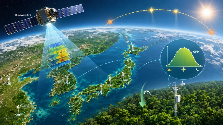
Gross primary production (GPP), the amount of carbon fixed by plants through photosynthesis, is fundamental to understanding the terrestrial carbon cycle. Conventional polar-orbiting satellites observe a location only a few times per day and therefore cannot fully resolve diurnal behavior such as midday reductions in photosynthesis during heat stress. This study combined high-frequency Himawari-8/9 observations with AMATERASS direct and diffuse solar radiation to build a model that represents the nonlinear relationship between photosynthetically active radiation and GPP. Validation against flux-tower observations in Japan and Korea showed improved representation of biases that occur around midday under clear skies and during morning and evening under cloudy conditions. Incorporating land-surface temperature also allowed the model to reproduce midday GPP depression during heat waves. The work demonstrates how AMATERASS data can support ecosystem carbon-cycle analysis at sub-daily time scales.
Connection to AMATERASS
Himawari-8/9 direct and diffuse solar radiation provided by AMATERASS, together with the CEReS gridded format used as an intermediate data format in AMATERASS, were used to construct the East Asian diurnal GPP model.
Selection policy: This page presents representative studies that are particularly useful for understanding the scientific and technical development of AMATERASS. The selection includes studies that directly use AMATERASS solar radiation products as well as research based on geolocation, gridding, and geostationary-satellite data products developed through AMATERASS.